Satellite Image Analysis
了解如何通过卫星图像分析从轨道数据中提取见解。探索使用 Ultralytics YOLO26 进行对象检测和分割,以获得 AI 驱动的成果。
卫星图像分析是指从轨道卫星拍摄的地球图像中提取有意义的信息、洞察和模式的过程。该领域将遥感原理与先进的计算机视觉和机器学习技术相结合,以解读海量的视觉数据。与标准摄影不同,卫星图像通常涵盖多个光谱带——从可见光到红外线和雷达——使分析人员能够检测到人眼无法察觉的特征,例如植被健康状况或土壤湿度水平。
Link to this sectionAI 在卫星图像中的作用#
传统上,分析卫星数据是一项由人类专家完成的人工且繁重的工作。如今,现代 AI 使这一过程实现自动化,能够快速处理覆盖全球的拍字节(petabytes)级数据。通过利用深度学习架构,特别是卷积神经网络 (CNNs) 和视觉 Transformer (ViTs),系统可以自动对土地覆盖进行分类、检测特定物体,并以高准确率监测随时间发生的变化。
该分析通常涉及几个核心计算机视觉任务:
- 目标检测: 识别和定位离散的物体实例,例如清点停车场中的汽车或检测港口中的船舶。
- 语义分割: 将图像中的每个像素分类到特定类别,这对于绘制城市扩张图或评估森林砍伐至关重要。
- 变化检测: 对比同一地点在不同时间拍摄的多张图像,以识别变化,例如自然灾害后的损毁评估。
Link to this section实际应用#
卫星图像分析通过提供宏观层面的地球视角,推动了各行各业的关键决策制定。
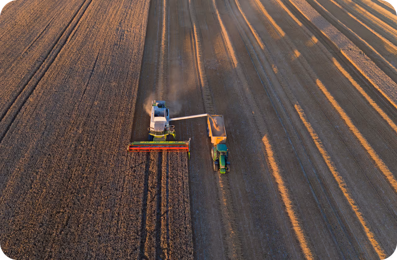
- 精准农业: 农民和农业企业使用农业 AI 来监测作物健康状况并估算产量。通过分析多光谱图像,模型可以在地面观测到这些情况前几周就检测出营养缺乏或灌溉问题。这使得有针对性的干预成为可能,从而减少浪费并提高效率。
- 灾难响应与管理: 应急响应人员依靠快速卫星分析来评估飓风、洪水和野火等事件的影响。AI 模型可以快速绘制洪水淹没区地图或识别损毁的基础设施,使政府能够有效地将资源部署到受灾最严重的地区。
Link to this section使用 YOLO26 实现分析#
对于寻求应用卫星图像分析的开发者来说,Ultralytics YOLO26 提供了一种强大且高效的解决方案。YOLO26 在该领域表现尤为出色,因为它能够处理高分辨率输入并检测小型、密集堆叠的物体——这是航空视角中常见的挑战。
以下示例演示了如何加载预训练的 YOLO26 模型,并对卫星图像运行推理以检测飞机或储油罐等物体。
from ultralytics import YOLO

# Load the YOLO26 model (recommended for high accuracy and speed)
model = YOLO("yolo26n.pt")  # 'n' for nano, can use 's', 'm', 'l', 'x'

# Run inference on a satellite image source
# This could be a local file or a URL to an image
results = model.predict(source="path/to/satellite_image.jpg", save=True, conf=0.5)

# Display detection results
for result in results:
    result.show()  # Show the image with bounding boxes drawn
Link to this section挑战与注意事项#
尽管卫星图像分析功能强大,但与标准摄影相比,它面临着独特的挑战。图像通常由海量的高分辨率 TIFF 文件组成,在处理前必须进行分块(切片成较小的部分)。此外,云层覆盖、大气畸变和多变的光照条件等因素需要稳健的数据预处理和增强策略。
Link to this section与航空图像分析的区别#
区分 卫星图像分析 和 航空图像分析 非常重要。虽然它们使用相似的技术,但数据源有所不同。
- 卫星图像: 从轨道(数百英里高空)捕获,提供全球覆盖范围和一致的重访频率,但与无人机相比,空间分辨率通常较低。
- 航空图像: 由在较低高度飞行的无人机 (UAV) 或飞机捕获。这提供了更适合详细检查(例如检查风力涡轮机叶片或施工进度)的高分辨率视觉效果,但覆盖范围较小。
Link to this section工具与平台#
管理卫星图像项目的生命周期——从数据标注到模型部署——可能非常复杂。Ultralytics Platform 简化了这一工作流程,允许团队协作标注大型地理空间数据集并在云端训练模型。此外,像 DOTA (航空图像目标检测数据集) 和 VisDrone 等专业数据集为训练模型识别俯视视角下的物体提供了出色的基准。
对于那些对地理空间数据与深度学习交叉领域感兴趣的人,强烈建议探索开源库,例如用于数据处理的 Rasterio 和用于空间操作的 GeoPandas。这些工具结合 YOLO26 等最先进的模型,使研究人员能够解锁关于我们不断变化的世界的新洞察。