Visual SLAM (Simultaneous Localization and Mapping)
Discover how Visual SLAM enables autonomous mapping. Learn to enhance accuracy with Ultralytics YOLO26 and deploy solutions via the Ultralytics Platform.
Visual SLAM (Simultaneous Localization and Mapping) is a core computer vision technique that enables an agent, such as a robot or a mobile device, to simultaneously map an unknown environment and determine its own position within that space using only camera inputs. Unlike traditional SLAM systems that rely on expensive laser sensors, Visual SLAM leverages standard monocular, stereo, or RGB-D cameras. By extracting and tracking visual features across consecutive image frames, the system computes the camera's trajectory while progressively building a 3D point cloud or dense map of its surroundings. This technology is foundational for enabling autonomous navigation and spatial awareness in machines.
Link to this sectionHow Visual SLAM Works#
A typical Visual SLAM pipeline consists of two main components: the front-end and the back-end. The front-end handles sensor data, performing visual feature extraction (identifying distinct corners or edges) and matching these features between frames to estimate the camera's motion over time. The back-end takes this odometry data and performs optimization algorithms like bundle adjustment to correct drift and refine both the environment map and the camera's estimated pose.
Recent breakthroughs in 2024 and 2025 have shifted the paradigm from traditional handcrafted features—like those used in legacy frameworks such as ORB-SLAM3—to deep learning approaches. Modern systems now utilize neural networks for dense optical flow and feature matching, making them highly resilient to motion blur and low-texture environments. Additionally, novel rendering techniques incorporating 3D Gaussian Splatting and Neural Radiance Fields (NeRFs) are enabling real-time, photorealistic dense mapping that captures intricate geometric details far better than standard point clouds.
Link to this sectionVisual SLAM vs. LiDAR SLAM vs. Object Tracking#
Understanding the distinctions between mapping and tracking technologies is essential for deploying the right solution:
- Visual SLAM vs. LiDAR SLAM: While Visual SLAM relies on inexpensive camera sensors to perceive rich visual textures, LiDAR SLAM uses laser beams to accurately measure physical distances. LiDAR is highly accurate but expensive and power-hungry, whereas Visual SLAM is cost-effective and provides color information but can struggle in poor lighting conditions.
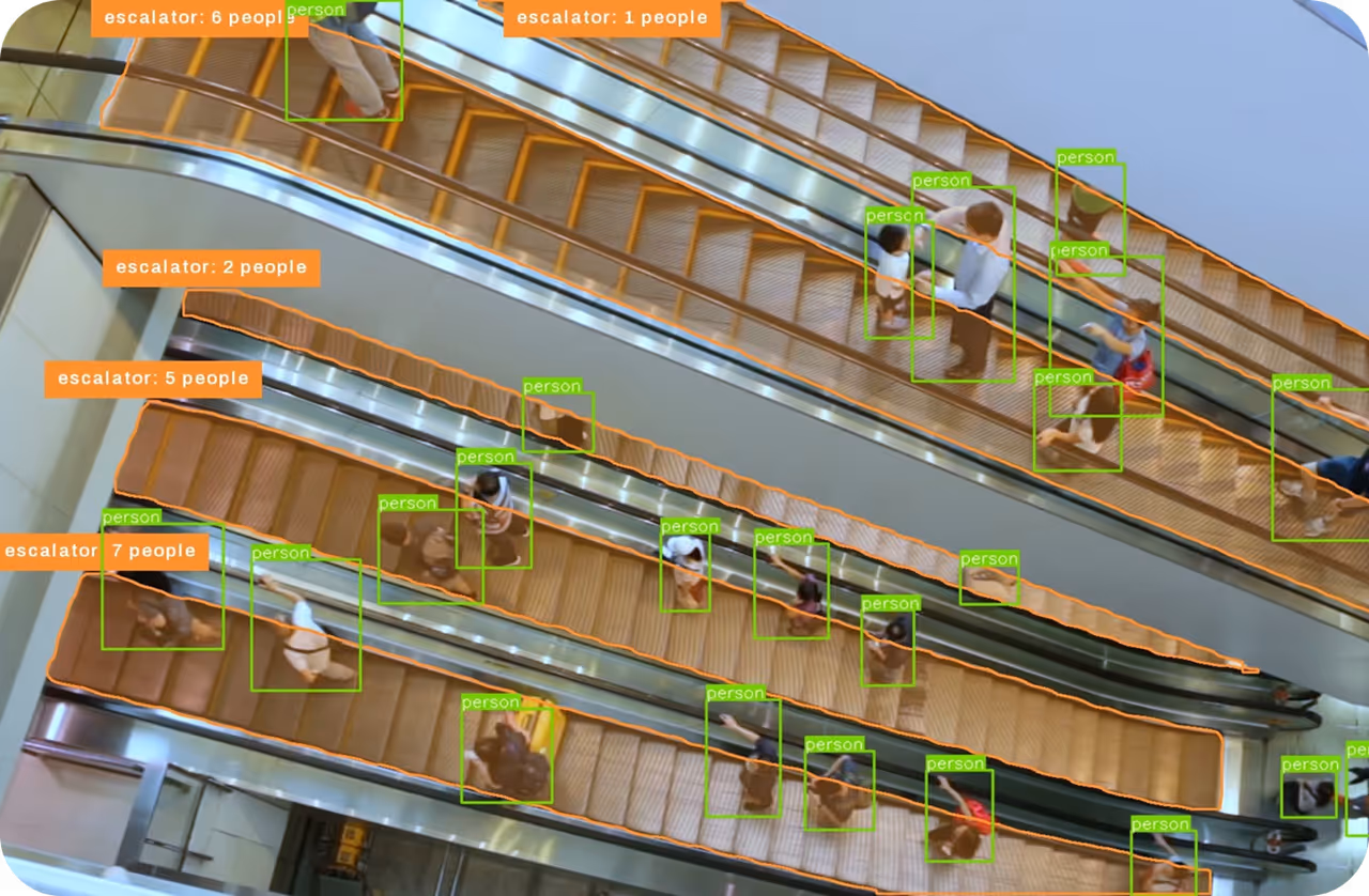
- Visual SLAM vs. Object Tracking: Object tracking isolates and follows the movement of specific entities across video frames. Visual SLAM, on the other hand, tracks the camera's movement relative to the static environment to build a map. However, the two concepts merge in Semantic SLAM, where object detection models identify dynamic objects to purposefully exclude them from the static map.
Link to this sectionReal-World Applications#
Visual SLAM is deeply integrated into modern AI agents and spatial computing systems.
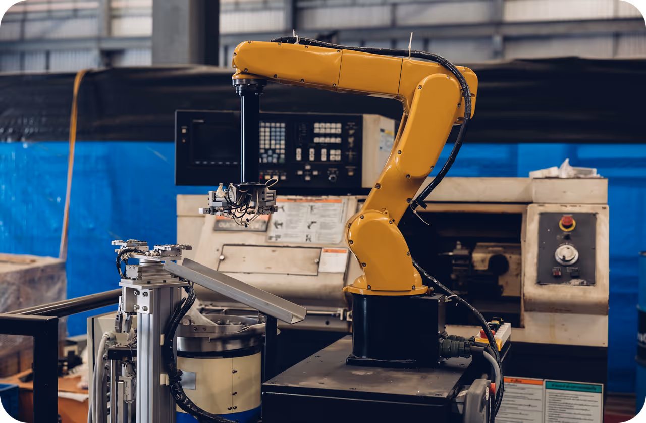
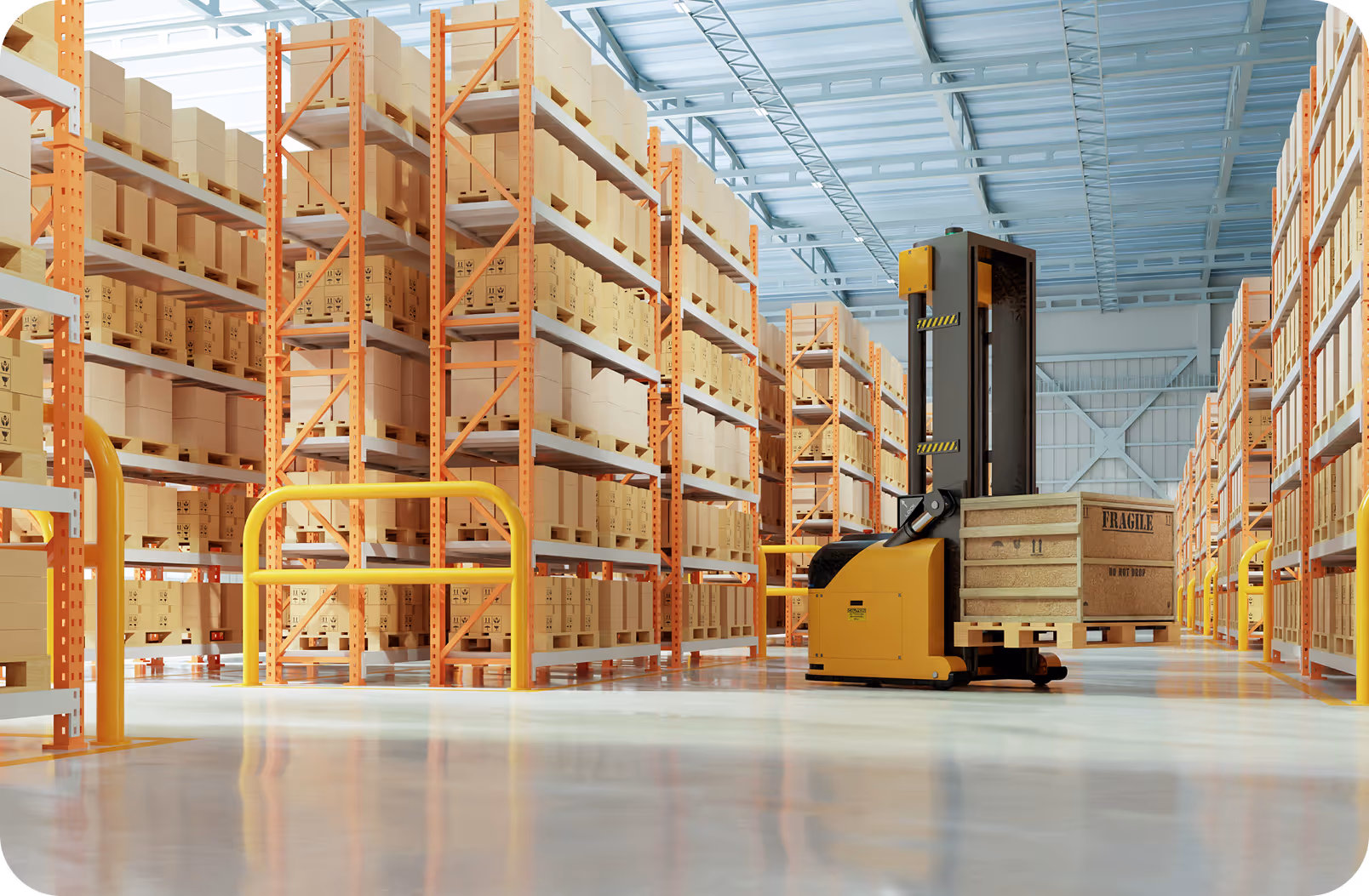
- Robotics and Autonomous Drones: Delivery robots and drones use Visual SLAM to navigate GPS-denied environments like warehouses or dense urban canyons. By building real-time maps, they can path-plan and avoid obstacles autonomously.
- Augmented Reality (AR) and Virtual Reality (VR): Commercial smart glasses rely heavily on Visual SLAM to understand the geometry of a room. This allows AR systems to accurately anchor digital objects, such as a virtual monitor, onto physical surfaces so they remain stable as the user moves.
- Assistive Navigation Systems: Recent developments in deep learning-powered Semantic SLAM are being used to create wearable navigation aids for visually impaired individuals, ensuring safe, real-time routing around dynamic physical obstacles.
Link to this sectionSemantic SLAM and YOLO26 Integration#
One of the biggest challenges in Visual SLAM is dealing with dynamic environments where moving objects corrupt the map. Semantic SLAM solves this by pairing the traditional SLAM pipeline with high-speed vision models. By using Ultralytics YOLO26 for instance segmentation or detection, the system can semantically label the scene and filter out moving objects, drastically improving localization accuracy.
The code block below demonstrates how to use YOLO26 to identify the coordinates of dynamic objects (like people and cars) so they can be explicitly ignored by the SLAM feature matching engine:
from ultralytics import YOLO

# Load Ultralytics YOLO26 to detect dynamic objects in the scene
model = YOLO("yolo26n.pt")
results = model("robot_camera_view.jpg")

# Extract bounding boxes of dynamic objects to exclude them from SLAM maps
for box in results[0].boxes:
    if int(box.cls) in [0, 2]:  # Example: Class 0 is person, Class 2 is car
        print(f"Ignore dynamic feature region at coordinates: {box.xyxy[0]}")
By leveraging modern edge AI hardware such as the NVIDIA Jetson and integrating models through the Ultralytics Platform, developers can train and deploy lightweight vision algorithms directly alongside SLAM pipelines. For further exploration of autonomous mapping architectures, refer to recent literature on IEEE Xplore or arXiv, and discover how to optimize continuous vision pipelines in the Ultralytics documentation.