Sensor Fusion
Sensor fusion merges data from cameras, LiDAR, radar and other sensors into a more reliable view than any one sensor gives, as in self-driving cars.
Sensor fusion combines measurements from multiple sensors to create a more accurate, complete, and reliable understanding of an environment than any single sensor can provide. In computer vision, this often means merging camera images with LiDAR, radar, GPS, microphones, or inertial measurement units. The broader sensor fusion concept supports autonomous machines by balancing complementary strengths—for example, cameras capture color and semantic detail, while radar measures distance and velocity reliably in poor visibility.
How Sensor Fusion Works#
A fusion pipeline first synchronizes sensor readings, transforms them into a shared coordinate system, and estimates each measurement’s uncertainty. It then combines information at one of three levels:
- Early fusion merges raw inputs before processing, retaining detail but requiring precise alignment.
- Feature-level fusion combines learned representations after feature extraction. Recent systems such as RCBEVDet radar-camera fusion and GAFusion LiDAR-camera fusion use bird’s-eye-view features and attention to align modalities.
- Late fusion combines outputs such as object detection boxes, depth estimates, or class probabilities. It is modular and can continue operating when one sensor fails.
Traditional state-estimation methods include the Kalman filter and Extended Kalman Filter. Modern deep-learning systems increasingly learn adaptive weights so unreliable sensors contribute less.
Real-World Applications#
- Autonomous Vehicles: Cameras identify pedestrians and traffic signs, LiDAR supplies 3D geometry, and radar estimates motion. In February 2026, Waymo described its sixth-generation Waymo Driver as using machine-learned fusion across camera, LiDAR, radar, and audio inputs to provide redundancy in difficult weather.
- Robotics: Mobile robots fuse camera, wheel-encoder, IMU, and range data for navigation. Combining perception with Visual SLAM helps a robot localize itself while mapping dynamic environments.
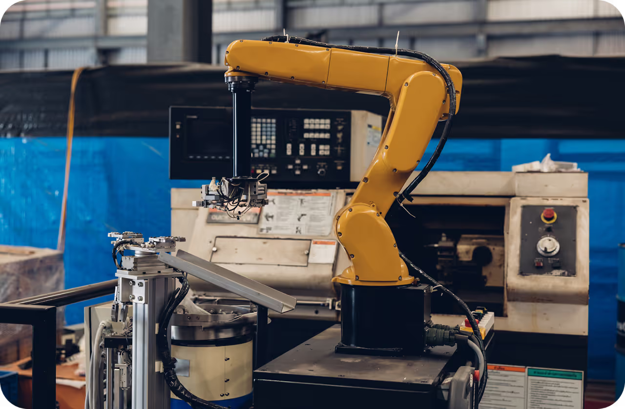
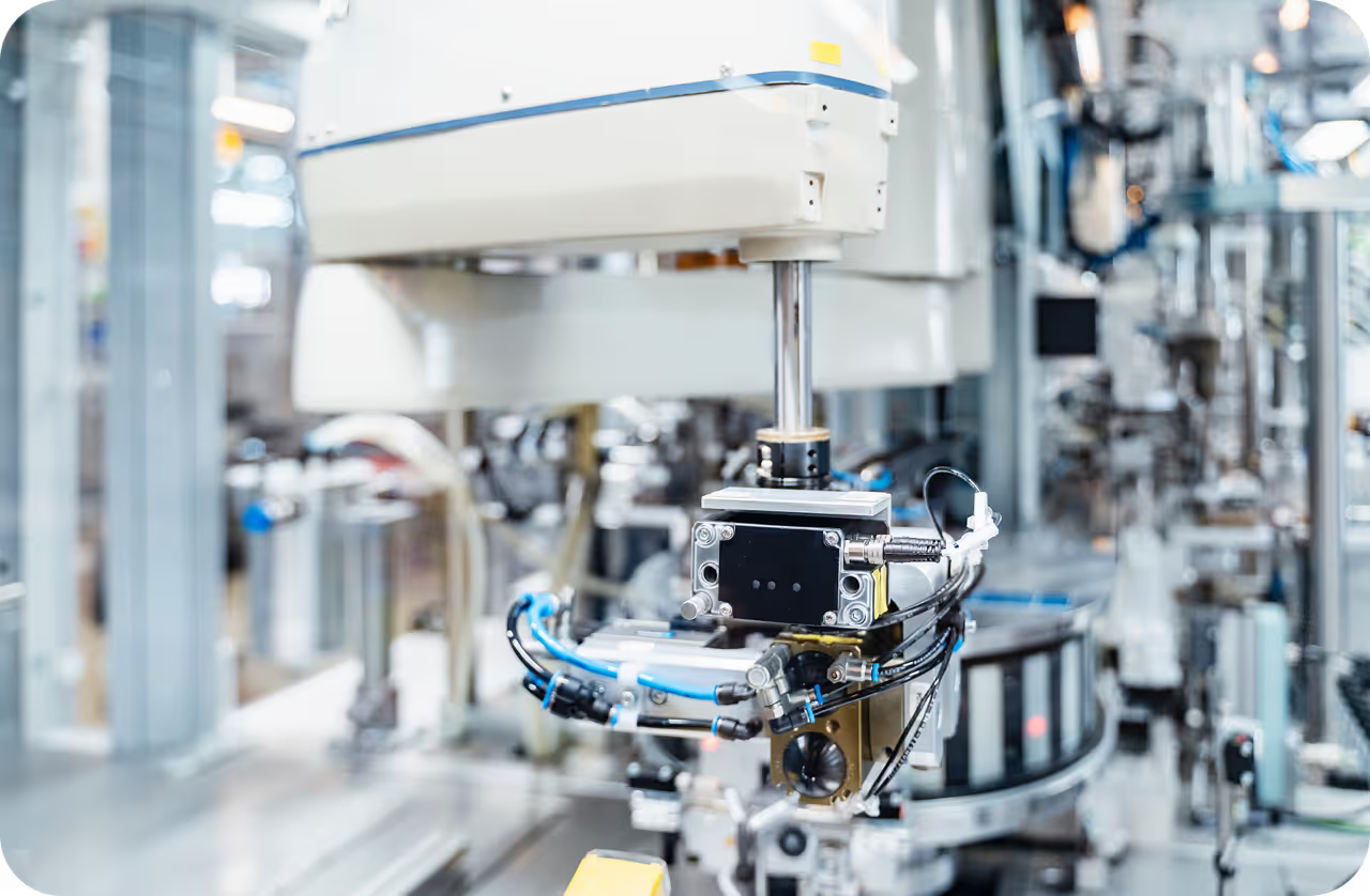
- Industrial Vision Systems: Factories combine RGB, thermal, vibration, and depth sensors to detect defects or equipment failures that may be invisible in ordinary images.
Sensor Fusion With Ultralytics YOLO#
Ultralytics YOLO26 can provide the camera-perception branch of a fusion system. This example generates detections that can be associated with synchronized radar or depth measurements:
from ultralytics import YOLO

model = YOLO("yolo26n.pt")
result = model("https://ultralytics.com/images/bus.jpg")[0]

for box in result.boxes:
    label = result.names[int(box.cls)]
    print(label, box.xyxy[0].tolist(), box.conf.item())
For video, YOLO tracking mode can maintain object identities before range or motion estimates are fused.
Current Research And Best Practices#
Research from 2024–2026 emphasizes weather-aware fusion, bird’s-eye-view representations, temporal context, and graceful degradation. Recent work explores LiDAR and 4D radar fusion in adverse weather, sensor-adaptive fusion, and robustness to stale or delayed sensor data.
Best practices include precise spatial calibration, hardware timestamps, uncertainty-aware weighting, sensor-dropout testing, and validation across weather and lighting conditions. Time synchronization and consistent sensor configuration are essential, while datasets such as MSU-4S support testing across seasons.
Sensor fusion differs from sensor integration, which primarily connects sensors to a system, and from multimodal learning, which may combine non-sensor inputs such as text. Teams can use Ultralytics Platform to annotate vision data, train models, deploy perception components, and monitor them as part of a larger fusion pipeline.