Satellite Image Analysis
Learn how to extract insights from orbital data with satellite image analysis. Explore object detection and segmentation using Ultralytics YOLO26 for AI-driven results.
Satellite image analysis refers to the process of extracting meaningful information, insights, and patterns from images of Earth captured by orbital satellites. This field combines principles of remote sensing with advanced computer vision and machine learning techniques to interpret vast amounts of visual data. Unlike standard photography, satellite imagery often spans multiple spectral bands—ranging from visible light to infrared and radar—allowing analysts to detect features invisible to the human eye, such as vegetation health or soil moisture levels.
Link to this sectionThe Role of AI in Satellite Imagery#
Traditionally, analyzing satellite data was a manual, labor-intensive task performed by human experts. Today, modern AI automates this process, enabling the rapid processing of petabytes of data covering the entire globe. By utilizing deep learning architectures, specifically Convolutional Neural Networks (CNNs) and Vision Transformers (ViTs), systems can automatically classify land cover, detect specific objects, and monitor changes over time with high accuracy.
The analysis typically involves several core computer vision tasks:
- Object Detection: Identifying and locating discrete instances of objects, such as counting cars in a parking lot or detecting ships in a harbor.
- Semantic Segmentation: Classifying every pixel in an image into categories, crucial for mapping urban sprawl or measuring deforestation.
- Change Detection: Comparing multiple images of the same location taken at different times to identify alterations, such as damage assessment after a natural disaster.
Link to this sectionReal-World Applications#
Satellite image analysis drives critical decision-making across various industries by providing a macro-level view of the planet.
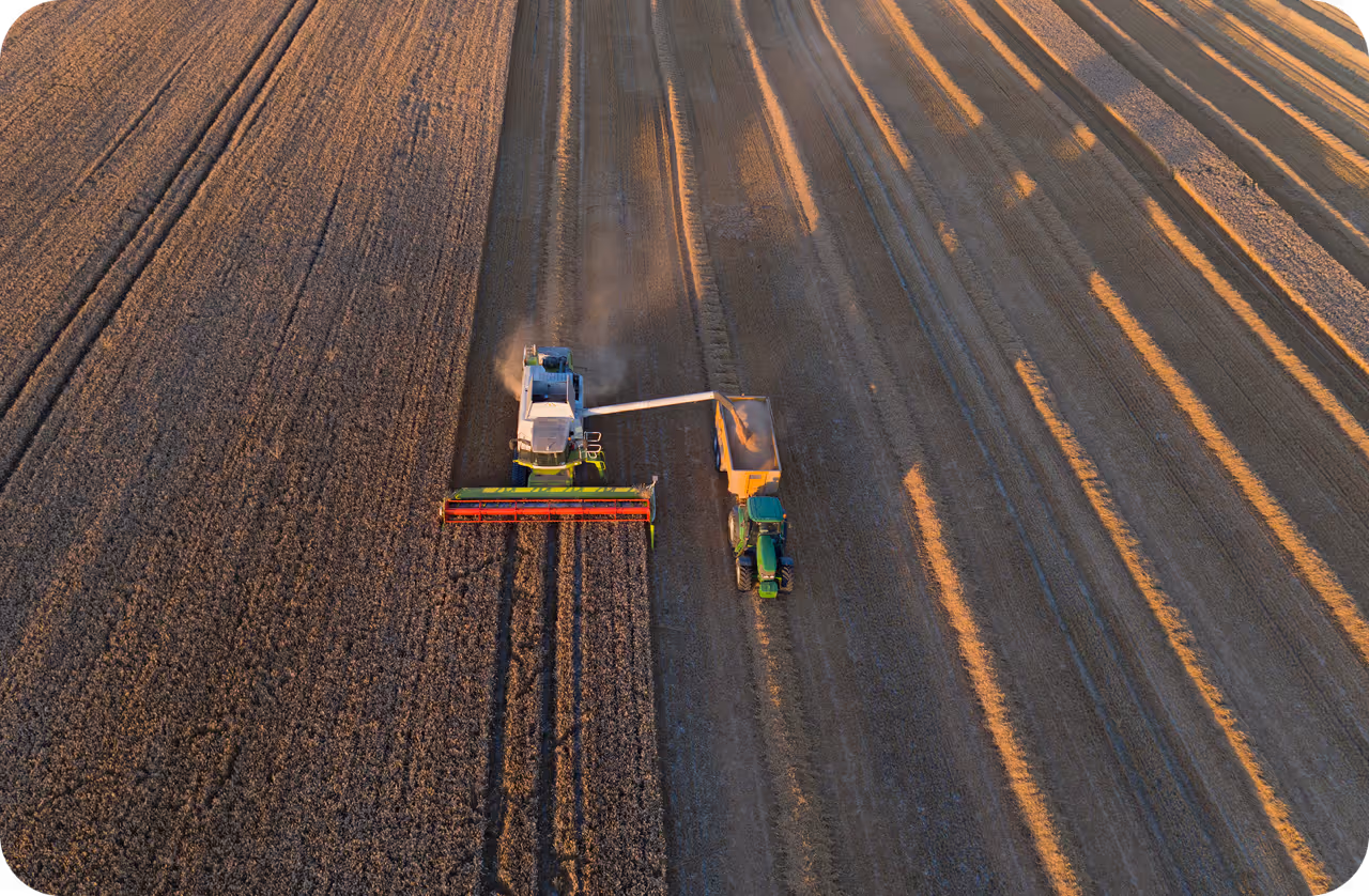
- Precision Agriculture: Farmers and agricultural enterprises use AI in agriculture to monitor crop health and estimate yields. By analyzing multispectral imagery, models can detect nutrient deficiencies or irrigation issues weeks before they are visible on the ground. This allows for targeted intervention, reducing waste and increasing efficiency.
- Disaster Response and Management: Emergency responders rely on rapid satellite analysis to assess the impact of events like hurricanes, floods, and wildfires. AI models can quickly map flooded regions or identify destroyed infrastructure, enabling governments to deploy resources effectively to the most affected areas.
Link to this sectionImplementing Analysis with YOLO26#
For developers looking to apply satellite image analysis, Ultralytics YOLO26 offers a powerful and efficient solution. YOLO26 is particularly well-suited for this domain due to its ability to handle high-resolution inputs and detect small, densely packed objects—a common challenge in aerial views.
The following example demonstrates how to load a pre-trained YOLO26 model and run inference on a satellite image to detect objects like airplanes or storage tanks.
from ultralytics import YOLO

# Load the YOLO26 model (recommended for high accuracy and speed)
model = YOLO("yolo26n.pt")  # 'n' for nano, can use 's', 'm', 'l', 'x'

# Run inference on a satellite image source
# This could be a local file or a URL to an image
results = model.predict(source="path/to/satellite_image.jpg", save=True, conf=0.5)

# Display detection results
for result in results:
    result.show()  # Show the image with bounding boxes drawn
Link to this sectionChallenges and Considerations#
While powerful, satellite image analysis faces unique challenges compared to standard photography. Images are often comprised of massive, high-resolution TIFF files that must be tiled (sliced into smaller sections) before processing. Furthermore, factors like cloud cover, atmospheric distortion, and varying lighting conditions require robust data preprocessing and augmentation strategies.
Link to this sectionDifferentiating from Aerial Image Analysis#
It is important to distinguish Satellite Image Analysis from Aerial Image Analysis. While they share similar techniques, the data sources differ.
- Satellite Imagery: Captured from orbit (hundreds of miles up), offering global coverage and consistent revisit rates but often at lower spatial resolution compared to drones.
- Aerial Imagery: Captured by drones (UAVs) or aircraft flying at lower altitudes. This provides higher resolution visuals suitable for detailed inspections, such as checking wind turbine blades or construction progress, but covers smaller areas.
Link to this sectionTools and Platforms#
Managing the lifecycle of a satellite imagery project—from data annotation to model deployment—can be complex. The Ultralytics Platform simplifies this workflow, allowing teams to collaborate on labeling large geospatial datasets and training models in the cloud. Additionally, specialized datasets like DOTA (Dataset for Object deTection in Aerial images) and VisDrone provide excellent benchmarks for training models to recognize objects from overhead perspectives.
For those interested in the intersection of geospatial data and deep learning, exploring open-source libraries like Rasterio for data handling and GeoPandas for spatial operations is highly recommended. These tools, combined with state-of-the-art models like YOLO26, empower researchers to unlock new insights about our changing world.