Spatial Computing
Mekânsal bilişim, artırılmış gerçeklik, sanal gerçeklik ve LiDAR gibi sensörler aracılığıyla dijital içeriği fiziksel 3B uzama sabitler. Temel bileşenleri, görsel yapay zekâyı ve gerçek kullanım alanlarını ele alır.
Mekânsal bilişim, insanların ve makinelerin üç boyutlu fiziksel uzama yerleştirilmiş dijital bilgilerle etkileşim kurmasını sağlayan, dijital ve fiziksel dünyaları sorunsuzca birleştiren, gelişmekte olan bir teknolojik paradigmadır. Kavramı 2003'te ortaya atan Simon Greenwold, modern makine öğrenimindeki (ML) atılımlar sayesinde hızla ilerlemiştir. Gerçeklikleri artırılmış gerçeklik (AR) ve sanal gerçeklik (VR) aracılığıyla —özellikle Apple Vision Pro gibi gelişmiş donanım aygıtlarında— birleştiren mekânsal bilişim, geleneksel 2B ekranların ötesine geçerek gerçekten sürükleyici ortamlar oluşturur. Fiziksel alanları gerçek zamanlı olarak doğru biçimde haritalandırmak, yorumlamak ve değiştirmek için LiDAR sensörleri gibi donanımların yanı sıra PyTorch gibi derin öğrenme çerçevelerinin birleşiminden yararlanır.
Mekânsal Bilişimin Temel Bileşenleri#
Duyarlı bir mekânsal bilişim deneyimi elde etmek, gerçek dünyayı sorunsuzca algılamak ve dijitalleştirmek için birbiriyle bağlantılı çeşitli teknolojiler gerektirir:
- Sensör Füzyonu: Aygıtlar, çevrelerindeki fiziksel düzen hakkında kesintisiz 3B mekânsal veri toplamak için optik kameraların, derinlik tahmini araçlarının ve ışık sensörlerinin bileşiminden yararlanır.
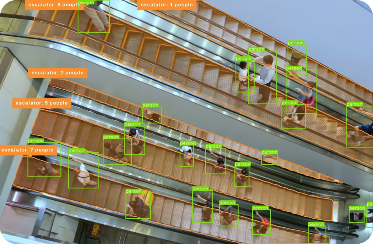
- Görme Yapay Zekâsı: Mekânsal bilişimin temelinde görsel verileri yorumlama becerisi yer alır. Ultralytics YOLO26 gibi modeller, gerçek zamanlı nesne algılama ve izleme olanağı sağlayarak mekânsal sistemlerin bir odada hangi fiziksel nesnelerin bulunduğunu anında anlamasına yardımcı olur.
- Uç Bilişim: Gecikmeyi önlemek ve etkileşimin akıcı olmasını sağlamak için donanım, karmaşık verileri tamamen uzak bulut ağlarına bağlı kalmak yerine aygıtlarda yerel olarak işler.
- Dünyayı Yakalama ve Görüntüleme: Üretken yapay zekâ teknikleri, 2B görüntülerden 3B ortamları hızla yeniden oluşturmak için kullanılır. Bunlar arasında ilk olarak 2020 tarihli bir arXiv makalesinde tanıtılan Sinirsel Işınım Alanları (NeRF'ler) ve Gauss sıçratma yer alır.
Mekânsal Bilişim ve Bilgisayarlı Görü Karşılaştırması#
Sıklıkla birlikte ele alınsalar da mekânsal bilişimi bilgisayarlı görüden ayırmak önemlidir. Bilgisayarlı görü, makinelerin gerçek dünyadaki görsel verileri "görmesini" ve yorumlamasını sağlamaya odaklanan bir yapay zekâ alt alanıdır. Öte yandan mekânsal bilişim, bilgisayarlı görüden temel bir araç olarak yararlanan daha geniş bir bilişim ekosistemidir. Örneğin bilgisayarlı görü bir odadaki sandalyeyi tanıyabilir; mekânsal bilişim ise bu verileri kullanarak kullanıcının sürükleyici bir arayüz aracılığıyla sandalyenin üzerine sanal bir lamba yerleştirmesini sağlar.
Gerçek Dünya AI ve ML Uygulamaları#
Mekânsal bilişim, dijital işleme ile fiziksel uygulama arasındaki boşluğu kapatarak çeşitli sektörleri dönüştürüyor. Gerçek dünyadaki iki güçlü uygulama şunlardır:
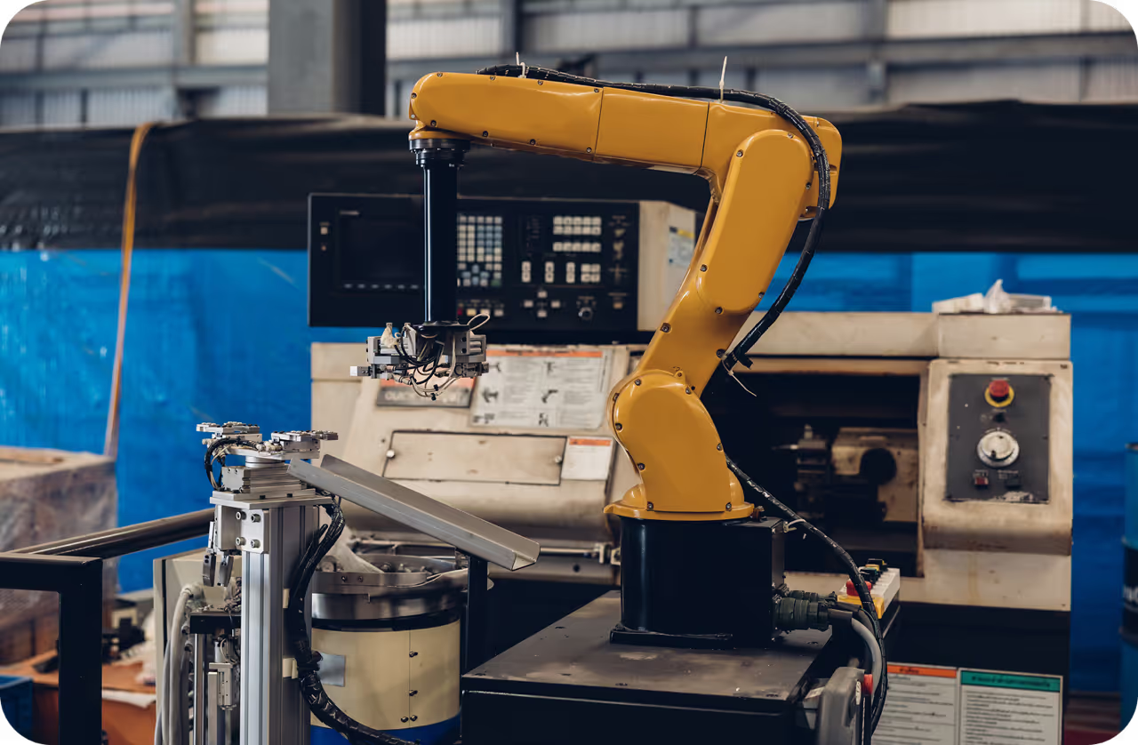
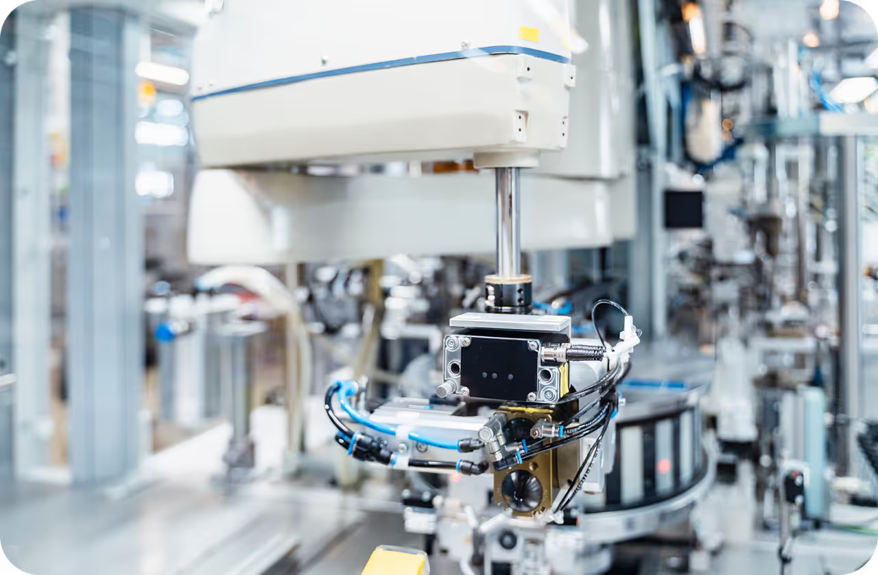
- Otonom Robotik ve Üretim: Akıllı endüstriyel tesislerde mekânsal bilişim, robotların karmaşık mekanik görevleri taklit öğrenmesi yoluyla öğrenmesini sağlar. Operatörler, montaj prosedürlerini doğal bir biçimde göstermek için AR başlıkları kullanır. Mekânsal bilgisayar, insanın 3B uzaydaki hareketlerini izler, bunları eğitim verisine dönüştürür ve robotun eylemleri güvenli biçimde yinelemesini sağlar.
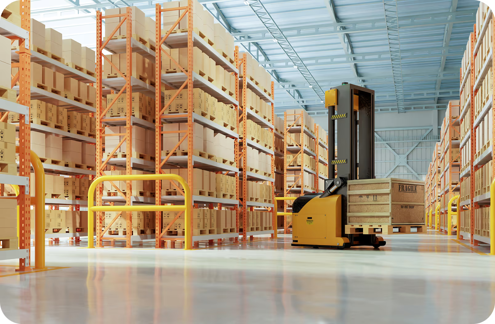
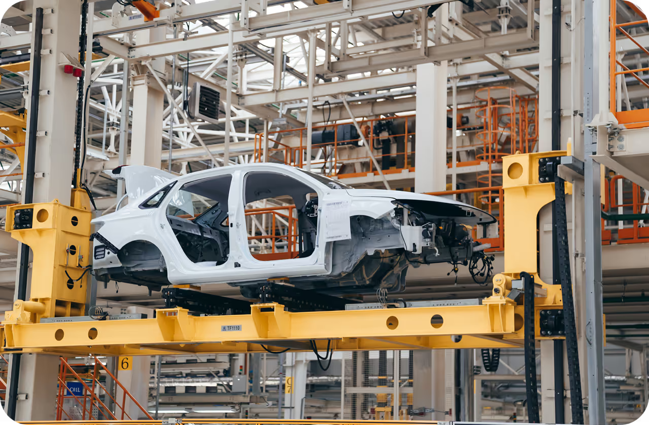
- Otonom Araçlar ve Akıllı Şehirler: Modern ulaşım sistemleri güvenli biçimde yol almak için büyük ölçüde mekânsal bilişime dayanır. Bir sürücüsüz araç, nesne çoklu izleme (MOT) algoritmalarını IoT sensörlerinden elde edilen mekânsal haritalarla sürekli birleştirerek çevresinin dinamik 3B anlayışını korur.
Görme Yapay Zekâsını Mekânsal İş Akışlarına Entegre Etme#
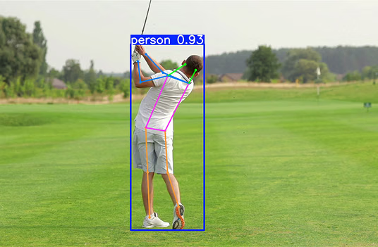
Mekânsal bilişim iş akışı oluşturmak genellikle fiziksel uzaydaki özneleri tanımlamak ve konumlandırmakla başlar. Örneğin bir poz tahmini modeli, kişinin tam duruşunu belirlemeye yardımcı olur; bu bilgi daha sonra karma gerçeklik ortamında sanal bir nesneyi kişinin eline veya vücuduna sabitlemek için kullanılabilir.
Etkileşimli uzamsal haritalama için çok önemli bir ilk adım olan kilit noktaları Python kullanarak çıkarma örneğini burada bulabilirsin:
from ultralytics import YOLO

# Mekânsal öğeleri sabitlemek için Ultralytics YOLO26 poz modelini yükle
model = YOLO("yolo26n-pose.pt")

# Uzamsal haritalama için 2B kilit noktaları tahmin et ve çıkar
results = model.predict(source="environment.jpg")
for r in results:
    print(r.keypoints.xy)  # Algılanan pozların koordinatlarını çıktı olarak ver
Büyük ölçekli mekânsal uygulamalarda geliştiriciler, modern mekânsal zekâ ağlarına güç veren yapay zekâ motorlarının oluşturulmasını kolaylaştıran Ultralytics Platform aracılığıyla eğittikleri modelleri genellikle güvenli biçimde yönetir ve dağıtır. Bu verimli görme modellerini uç yapay zekâ mimarilerine entegre etmek, geliştiricilerin insan-bilgisayar etkileşiminin geleceği için gerekli duyarlı ve sezgisel deneyimleri oluşturmasını sağlar.