Spatial Computing
Điện toán không gian neo nội dung số vào không gian 3D vật lý thông qua AR, VR và các cảm biến như LiDAR. Nội dung đề cập đến những thành phần cốt lõi, AI thị giác và ứng dụng thực tế.
Điện toán không gian là một mô hình công nghệ đang phát triển, kết hợp liền mạch thế giới số và thế giới vật lý, cho phép con người và máy móc tương tác với thông tin số được định vị trong không gian vật lý ba chiều. Khái niệm này do Simon Greenwold đặt ra vào năm 2003 và đã phát triển nhanh chóng nhờ những đột phá hiện đại trong machine learning (ML). Bằng cách kết hợp các thực tại thông qua thực tế tăng cường (AR) và thực tế ảo (VR)—đáng chú ý nhất là trên các thiết bị phần cứng tiên tiến như Apple Vision Pro—điện toán không gian vượt ra ngoài màn hình 2D truyền thống để tạo nên môi trường nhập vai thực sự. Công nghệ này dựa vào sự hội tụ của phần cứng, chẳng hạn như cảm biến LiDAR, và framework deep learning như PyTorch để lập bản đồ, diễn giải và thao tác chính xác các không gian vật lý theo thời gian thực.
Các thành phần cốt lõi của điện toán không gian#
Để mang lại trải nghiệm điện toán không gian có độ phản hồi cao, cần có nhiều công nghệ liên kết với nhau để nhận biết và số hóa thế giới thực một cách liền mạch:
- Hợp nhất cảm biến: Thiết bị kết hợp camera quang học, công cụ ước tính độ sâu và cảm biến ánh sáng để liên tục thu thập dữ liệu không gian 3D về bố cục vật lý xung quanh.
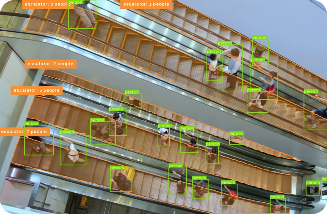
- AI thị giác: Khả năng diễn giải dữ liệu thị giác là trọng tâm của điện toán không gian. Các model như Ultralytics YOLO26 cung cấp khả năng phát hiện đối tượng và theo dõi theo thời gian thực, giúp hệ thống không gian hiểu tức thì những vật thể vật lý nào đang hiện diện trong phòng.
- Điện toán biên: Để tránh độ trễ và bảo đảm tương tác mượt mà, phần cứng xử lý dữ liệu phức tạp ngay trên thiết bị thay vì hoàn toàn dựa vào mạng cloud từ xa.
- Thu nhận và kết xuất thế giới: Các kỹ thuật AI tạo sinh được dùng để tái dựng nhanh môi trường 3D từ hình ảnh 2D. Những kỹ thuật này bao gồm Trường bức xạ nơ-ron (NeRF), lần đầu được giới thiệu trong bài báo arXiv năm 2020, và Gaussian splatting.
Điện toán không gian và thị giác máy tính#
Dù thường được thảo luận cùng nhau, cần phân biệt điện toán không gian với thị giác máy tính. Thị giác máy tính là một nhánh của AI tập trung cụ thể vào việc giúp máy móc "nhìn" và diễn giải dữ liệu thị giác từ thế giới thực. Mặt khác, điện toán không gian là một hệ sinh thái điện toán rộng hơn, sử dụng thị giác máy tính như công cụ nền tảng. Ví dụ, thị giác máy tính có thể nhận diện một chiếc ghế trong phòng, còn điện toán không gian sử dụng dữ liệu đó để người dùng đặt một chiếc đèn kỹ thuật số lên ghế trong không gian ảo thông qua giao diện nhập vai.
Ứng dụng AI và ML trong thực tế#
Điện toán không gian đang chuyển đổi nhiều ngành bằng cách kết nối xử lý số với hoạt động thực tế. Hai ứng dụng thực tiễn tiêu biểu gồm:
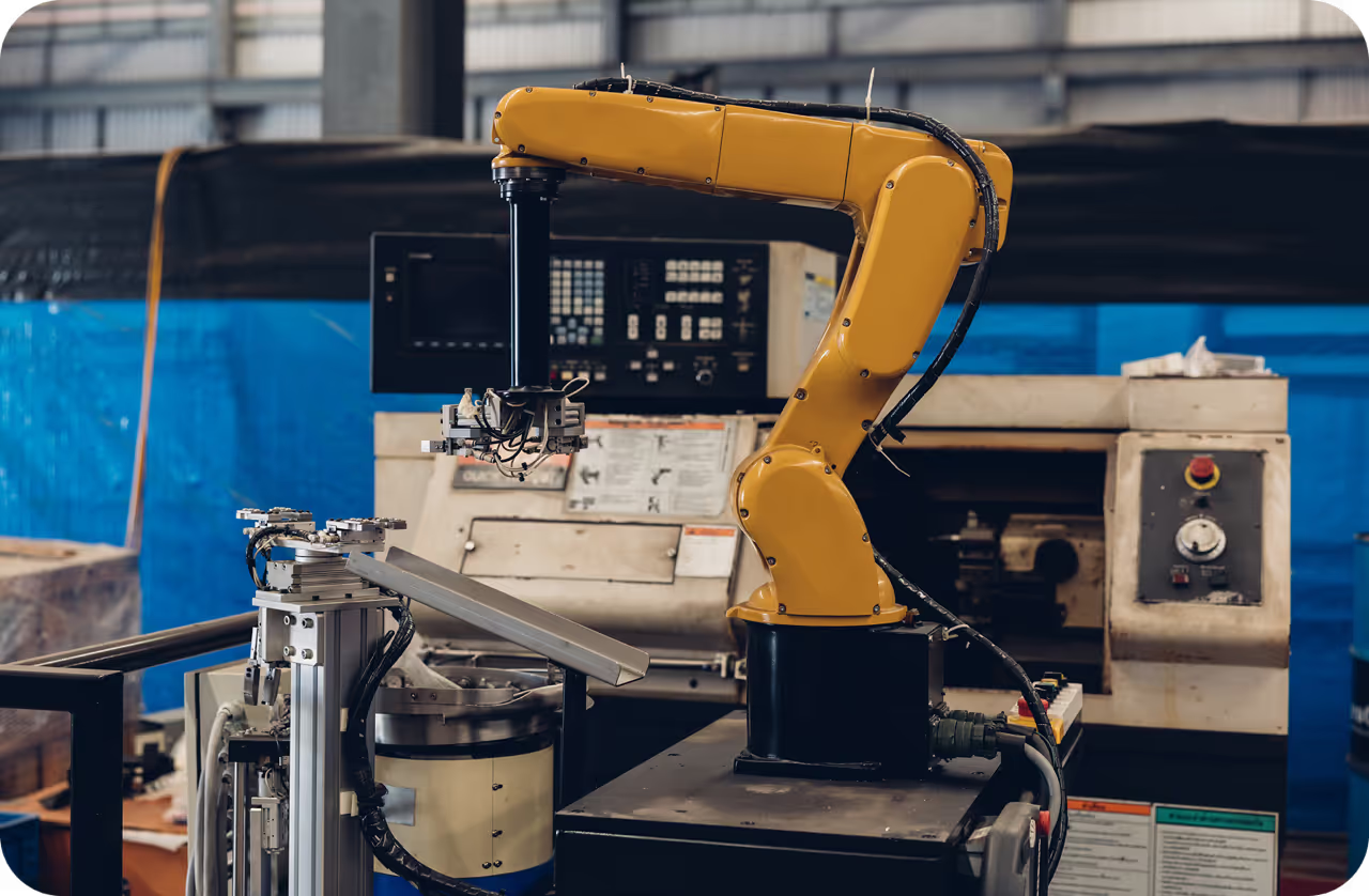
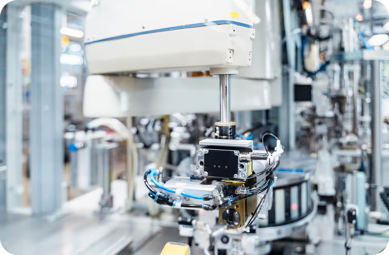
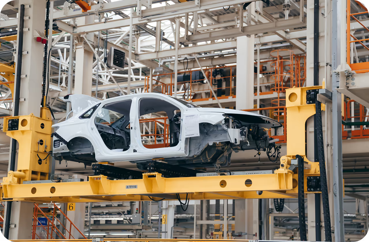
- Robot tự hành và sản xuất: Trong các cơ sở công nghiệp thông minh, điện toán không gian cho phép robot học các tác vụ cơ khí phức tạp thông qua học bắt chước. Người vận hành sử dụng kính AR để tự nhiên trình diễn quy trình lắp ráp. Máy tính không gian theo dõi chuyển động của con người trong không gian 3D, chuyển chúng thành dữ liệu huấn luyện và cho phép robot lặp lại thao tác một cách an toàn.
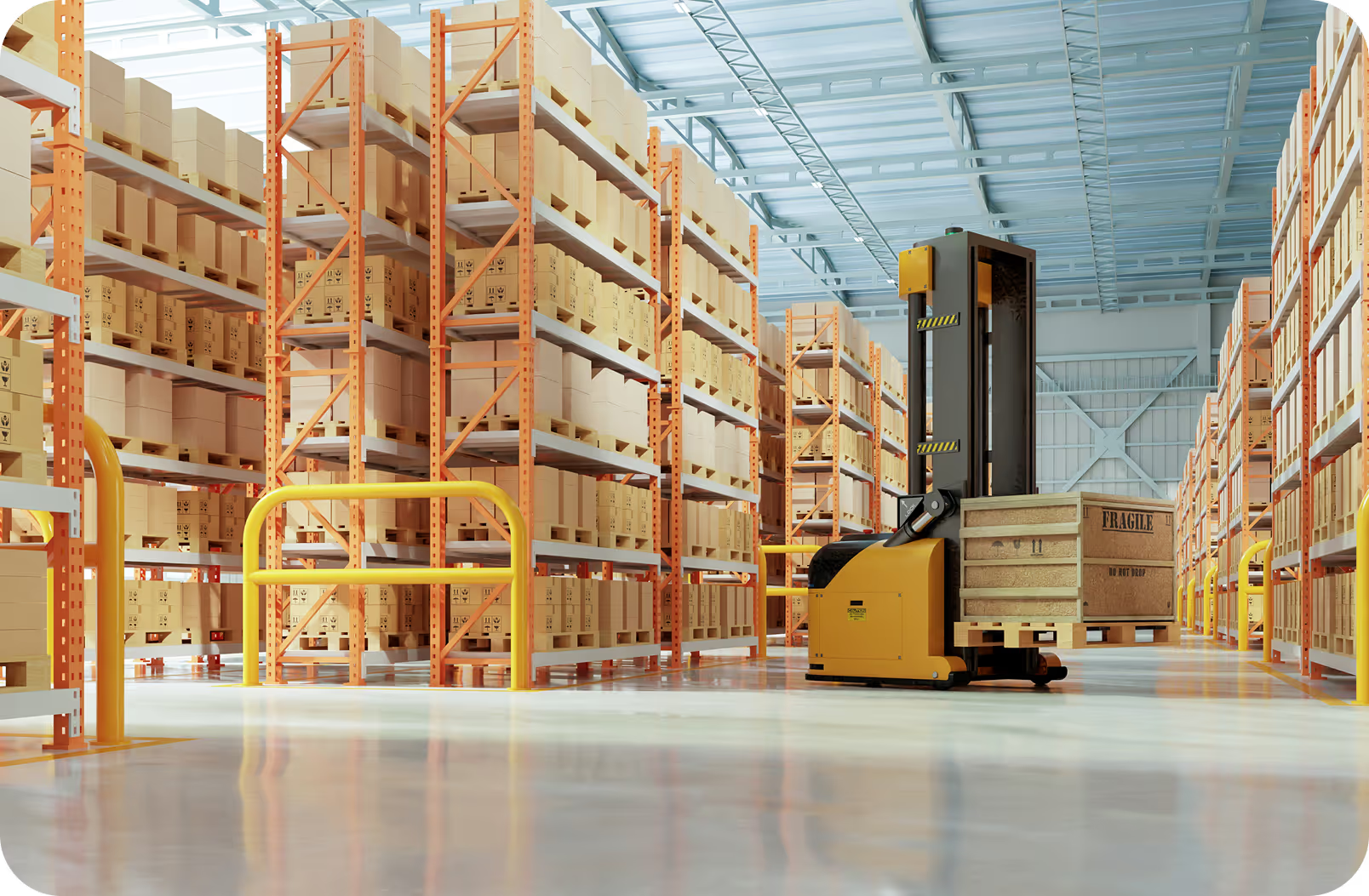
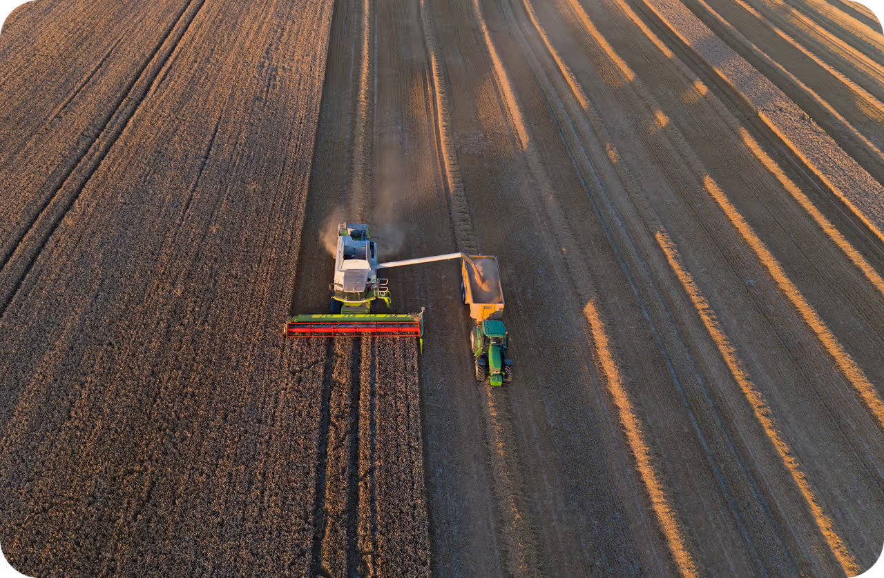
- Xe tự hành và thành phố thông minh: Các hệ thống giao thông hiện đại phụ thuộc nhiều vào điện toán không gian để điều hướng an toàn. Bằng cách liên tục kết hợp các thuật toán theo dõi đa đối tượng (MOT) với bản đồ không gian được tạo từ cảm biến IoT, xe tự lái duy trì hiểu biết 3D linh hoạt về môi trường xung quanh.
Tích hợp AI thị giác vào workflow không gian#
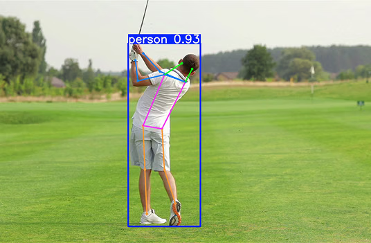
Việc xây dựng pipeline điện toán không gian thường bắt đầu bằng xác định và định vị các đối tượng trong không gian vật lý. Chẳng hạn, sử dụng model ước tính tư thế giúp xác định chính xác tư thế của một người, từ đó có thể neo một vật thể ảo vào bàn tay hoặc cơ thể của họ trong môi trường thực tế hỗn hợp.
Dưới đây là ví dụ về cách trích xuất keypoint bằng Python, một bước đầu tiên thiết yếu để lập bản đồ không gian tương tác:
from ultralytics import YOLO

# Tải model pose Ultralytics YOLO26 để neo các thành phần không gian
model = YOLO("yolo26n-pose.pt")

# Dự đoán và trích xuất keypoint 2D để lập bản đồ không gian
results = model.predict(source="environment.jpg")
for r in results:
    print(r.keypoints.xy)  # Xuất tọa độ của các pose được phát hiện
Đối với các ứng dụng không gian quy mô lớn, nhà phát triển thường quản lý và triển khai an toàn các model đã huấn luyện bằng Ultralytics Platform, giúp tinh giản quy trình tạo các engine AI cung cấp năng lực cho mạng trí tuệ không gian hiện đại. Tích hợp các model thị giác hiệu quả này trên kiến trúc AI biên giúp nhà phát triển xây dựng trải nghiệm có độ phản hồi cao và trực quan, cần thiết cho tương lai của tương tác người-máy.